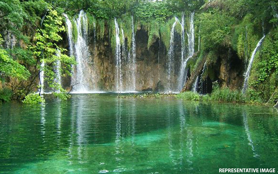
Washington, May 18: Availability of freshwater has declined in the northern and eastern parts of India, says a new study that combined an array of NASA satellite observations of Earth with data on human activities to map locations where freshwater is changing around the globe.
The study, published in the journal Nature, found that Earth's wetland areas are getting more wet and dry areas are getting drier due to a variety of factors, including human water management, climate change and natural cycles.
Areas in northern and eastern India, the Middle East, California and Australia are among the hotspots where overuse of water resources has caused a serious decline in the availability of freshwater, and without corrective actions by the governments to preserve water, the situation is likely to worsen in these areas, the Guardian reported this week citing the study.
The first-of-its-kind study used 14 years of observations from the US/German-led Gravity Recovery and Climate Experiment (GRACE) spacecraft mission to track global trends in freshwater in 34 regions around the world.
"This is the first time that we've used observations from multiple satellites in a thorough assessment of how freshwater availability is changing, everywhere on Earth," said Matt Rodell of NASA's Goddard Space Flight Center in Greenbelt, Maryland,
"A key goal was to distinguish shifts in terrestrial water storage caused by natural variability - wet periods and dry periods associated with El Nino and La Nina, for example - from trends related to climate change or human impacts, like pumping groundwater out of an aquifer faster than it is replenished," Rodell added.
Freshwater is found in lakes, rivers, soil, snow, groundwater and ice. Freshwater loss from the ice sheets at the poles - attributed to climate change - has implications for sea level rise.
On land, freshwater is one of the most essential of Earth's resources, for drinking water and agriculture.
The researchers found that while some regions' water supplies are relatively stable, others experienced increases or decreases.
"What we are witnessing is major hydrologic change," said co-author Jay Famiglietti of NASA's Jet Propulsion Laboratory (JPL) in Pasadena, California.
"We see a distinctive pattern of the wet land areas of the world getting wetter - those are the high latitudes and the tropics - and the dry areas in between getting dryer. Embedded within the dry areas we see multiple hotspots resulting from groundwater depletion," Famiglietti warned.
Famiglietti noted that while water loss in some regions, like the melting ice sheets and alpine glaciers, is clearly driven by warming climate, it will require more time and data to determine the driving forces behind other patterns of freshwater change.
However, the GRACE satellite observations alone couldn't tell the researchers what was causing the apparent trends.
"We examined information on precipitation, agriculture and groundwater pumping to find a possible explanation for the trends estimated from GRACE," said co-author Hiroko Beaudoing of Goddard and the University of Maryland in College Park.
Let the Truth be known. If you read VB and like VB, please be a VB Supporter and Help us deliver the Truth to one and all.
Bareilly (UP), Nov 24: Three people died when their car fell into the Ramganga river from a partially constructed bridge here on Sunday, police said, adding that they suspect the driver was misled by its navigation system into taking the unsafe route.
The accident occurred around 10 am on the Khalpur-Dataganj road when the victims were travelling from Bareilly to Dataganj in the Badaun district, they said.
"Earlier this year, floods had caused the front portion of the bridge to collapse into the river, but this change had not been updated in the system," Circle Officer Ashutosh Shivam said.
The driver was using a navigation system and did not realise that the bridge was unsafe, driving the car off the damaged section, the police said.
There were no safety barriers or warning signs on the approach to the damaged bridge, leading to the fatal accident, Shivam said.
Upon receiving information, police teams from Faridpur, Bareilly and Dataganj police station rushed to the spot. They recovered the vehicle and the bodies from the river, Shivam added.
The circle officer said that bodies had been sent for post-mortem. Further investigation into the matter is underway.
— Bareilly Police (@bareillypolice) November 24, 2024


