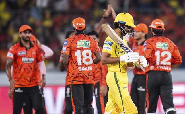
Heavy rainfall expected in Coastal Karnataka for three days starting May 16
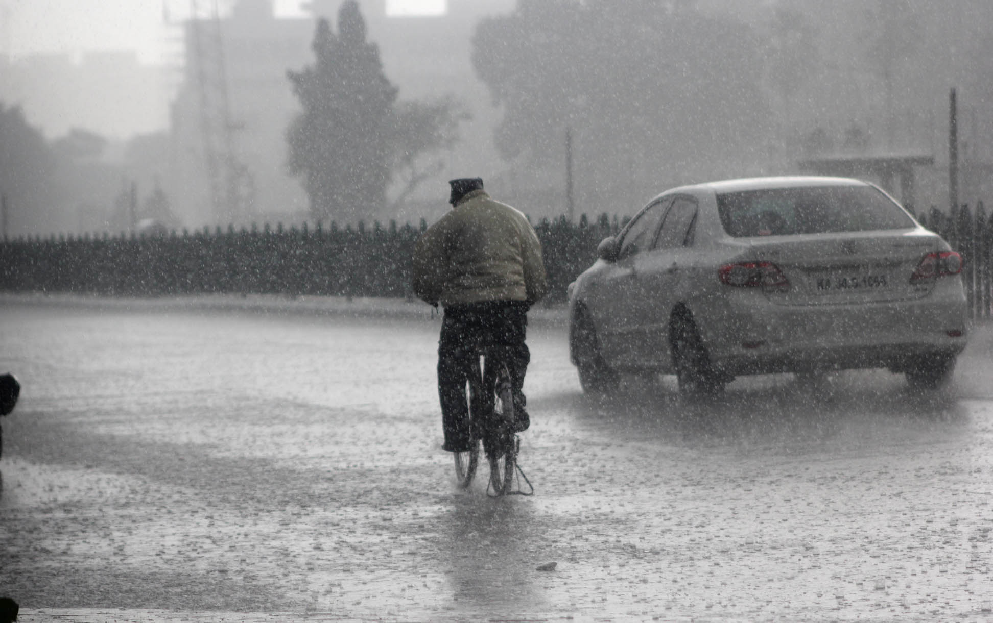
Bengaluru: The Meteorological Department has predicted heavy rainfall in Coastal Karnataka for three days starting May 16. The department has also predicted Monsoon to arrive in the state in the first week of June.
Over the last few days, parts of Coastal Karnataka have witnessed slight rainfall with isolated clouds and thunderstorm, and the department has predicted that the same will continue and convert into heavy rainfall for next three days starting May 16.
Dr. Srinivas Reddy, Director of Karnataka State Natural Disaster Management Authority informed that the wind and clouds from Bay of Bengal were moving towards Arabian Sea that will likely mean heavy rainfall in the Coastal Karnataka on May 16-18.
Adding further, Reddy asserted that the showers will help in neutralizing the summer heat wave in the region and that it will also help farmers in growing the crops.
Let the Truth be known. If you read VB and like VB, please be a VB Supporter and Help us deliver the Truth to one and all.
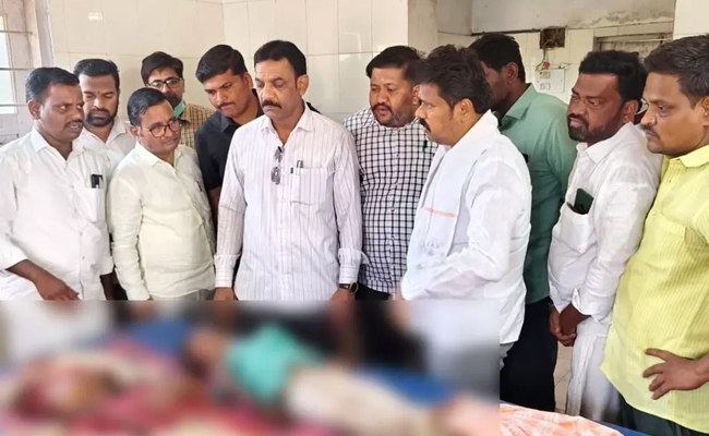
Belagavi youth’s murder case projected as road accident, cracked in Uttara Kannada; Three arrested

Karwar: Uttara Kannada police have cracked a murder case in which a Belagavi youth was killed and his body burnt inside a car to make it appear like a road accident.
Addressing a press meet in the city, Superintendent of Police Deepan M.N. said three accused from Old Hubballi have been arrested in connection with the case. The crime was a pre-planned act driven by personal enmity, he said.
The case came to light on April 8 morning when a car (KA-04/MJ-8996) was found completely burnt in a roadside ditch near Talekumbri bus stand in Yellapur. Only charred human remains were found inside the vehicle. Initially, it was suspected to be an accident caused by overspeeding, and a case was registered at Yellapur police station based on a complaint filed by the deceased’s father, Jagannath Dhapale.
However, the father later expressed suspicion that his son’s death was not accidental, prompting a detailed investigation.
Taking the matter seriously, two special teams were formed under the leadership of Yellapur Inspector Ramesh Hanapur. On analysing technical evidence and CCTV footage, police found that it was a planned murder.
The accused have been identified as Abdul Raheem Basheer Ahmed Mujawar (32), Maulasab Bavahan Wada (36) and Dadapeer alias Aftab Mehboob Saab Balasangi (22), all chicken traders from Old Hubballi.
Police have seized the car used in the crime along with two scooters. The accused have been remanded to judicial custody.
Investigations revealed that the accused killed Nitesh Dhapale due to personal enmity and later set the car on fire along with the body to project it as an accident.
SP Deepan M.N. appreciated the efforts of Inspector Ramesh Hanapur, PSIs Rajashekhar Vandali and Siddappa Gudi, and the entire team for solving the complex case.