Mangaluru: NSS, Youth Red Cross Society organise blood donation camp at BIT
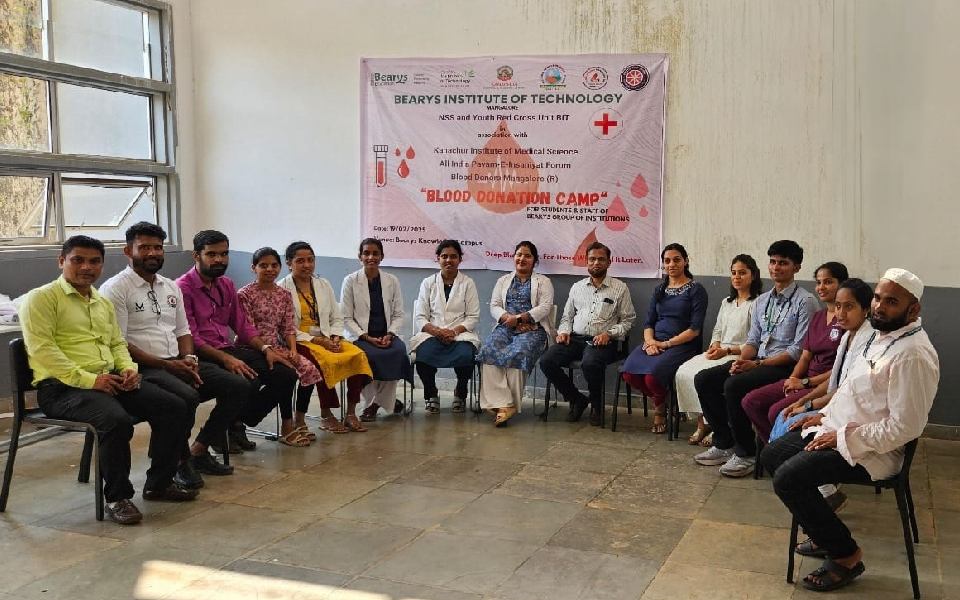
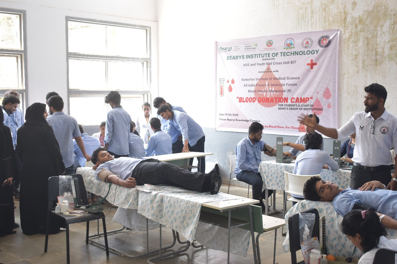
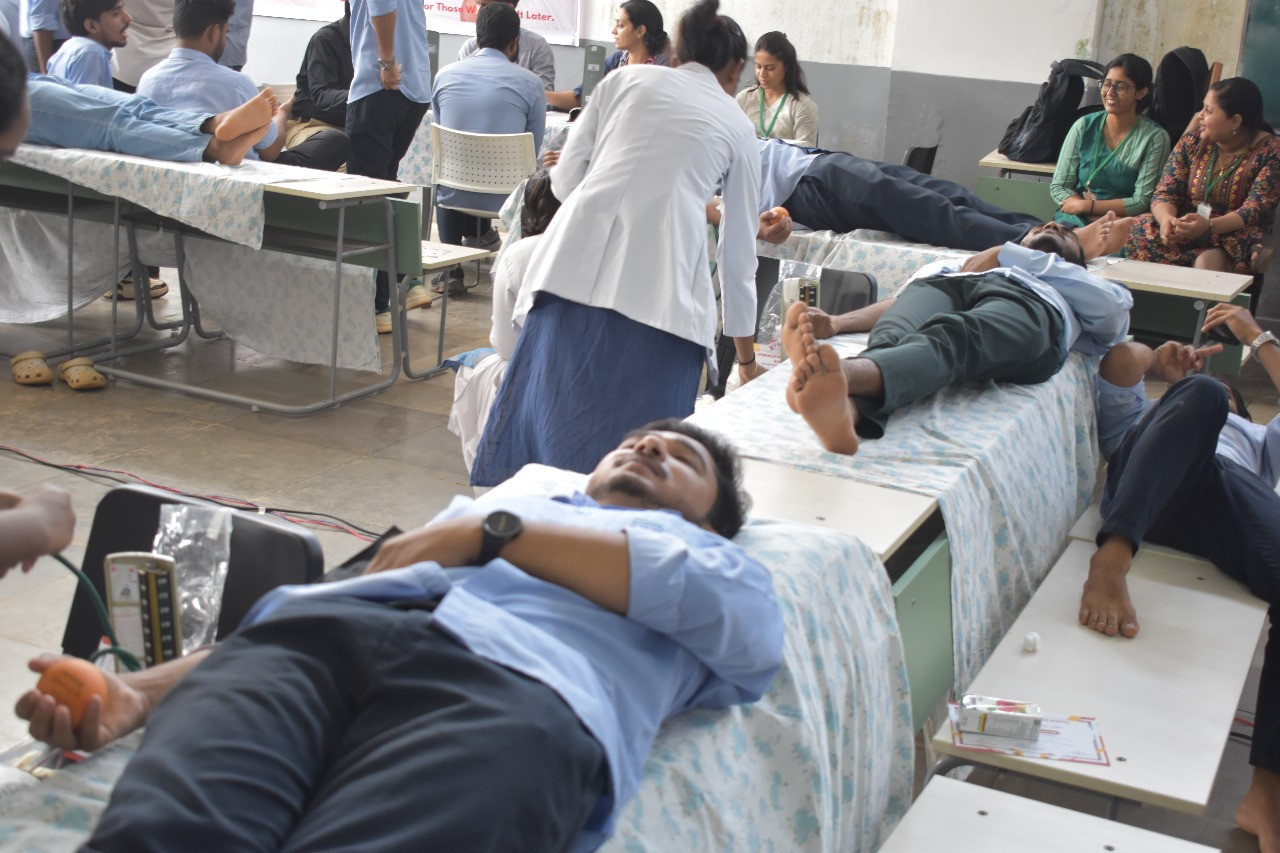
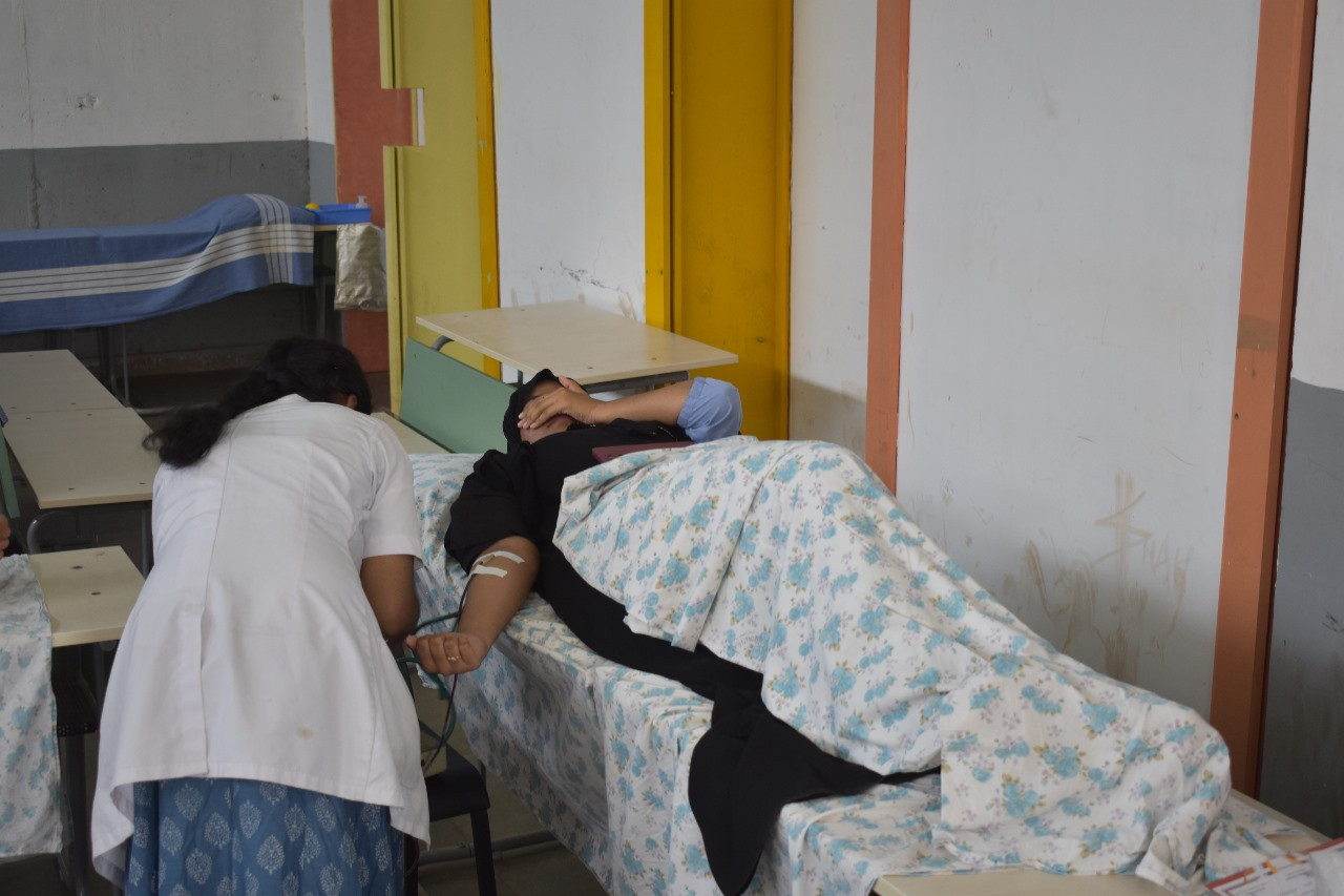
The National Service Scheme (NSS) and Youth Red Cross Society unit of Beary Institute of Technology organized a blood donation and health check-up camp in association with Kanachur Institute of Medical Sciences, All India Payam-e-Insaniyat Forum and Blood Donors Mangalore (R) to serve humanity and society.
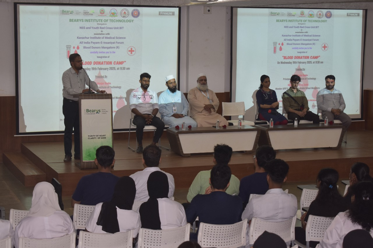
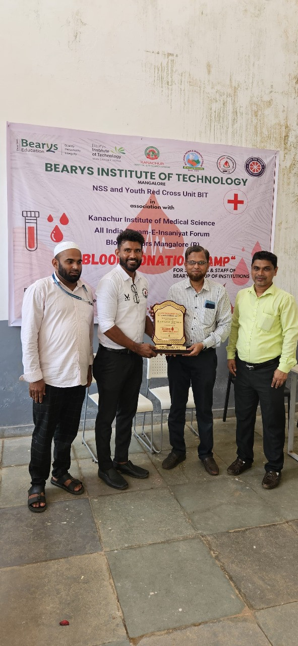
The program began with an invocation by the prayer team. The Principal of BIT, Dr. S. I. Manjur Basha, welcomed all dignitaries, and motivated all participants on the importance of blood donation.
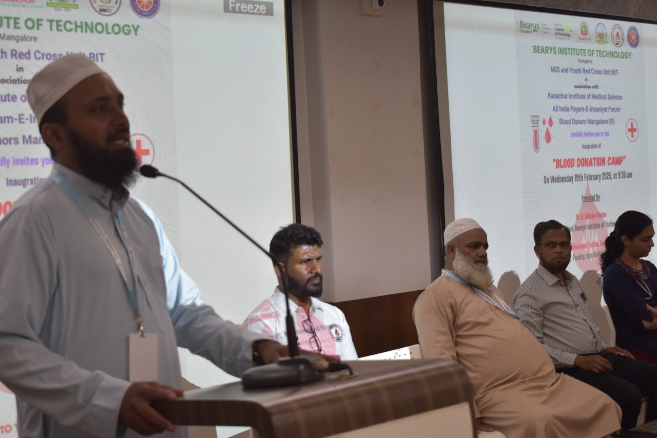
Dignitaries on stage included, Moulana Salim Nadwi, Principal, Iqra Arabic School, Mr. Mohamed Farahan Nadwi, Member of AIPIF & Faculty at Iqra Arabic School, Mangaluru, who also delivered a motivational speech.
Dr. Salman Ansari, Medical Officer, Kanachur Institute of Medical Sciences, Dr. Theertha, Liaison Officer, Blood Centre, Father Muller Hospital , Kankanady, Mr. Siddiq Manjeshwar, Founder President, Blood Donors Mangaluru (R), Dr. Kafeel Delvi, NSS Program Officer, BIT.
The camp Coordinators, are Prof. Zaheer Ahmed (Associate Professor, Civil Engineering Department) and Prof. Mohammed Sinan, HoD of CSE department.
The event was anchored by Mrs. Farya Naz 6th semester students of AI-DS, and the vote of thanks was delivered by Mr. Arshan M K 6th sem AI-DS.
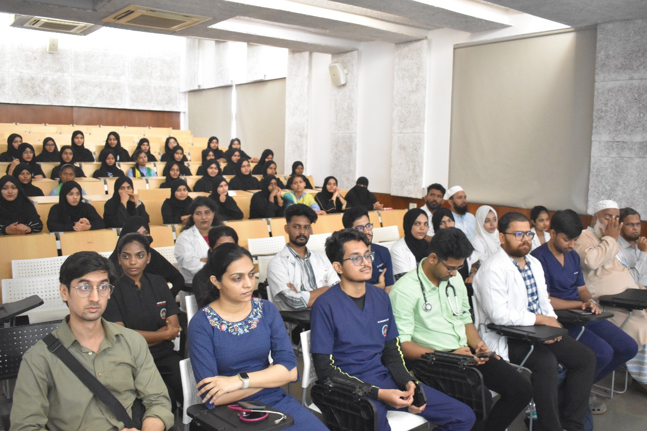
The camp successfully collected more than 110 units of blood, and over 200 Students and Staff benefited from the health check-up. The health checkup camp includes tests for blood pressure, sugar levels and an eye examination.

Let the Truth be known. If you read VB and like VB, please be a VB Supporter and Help us deliver the Truth to one and all.
How Indian AI Is Booming with GEOX AI Leading the Next Wave of Geolocation Intelligence
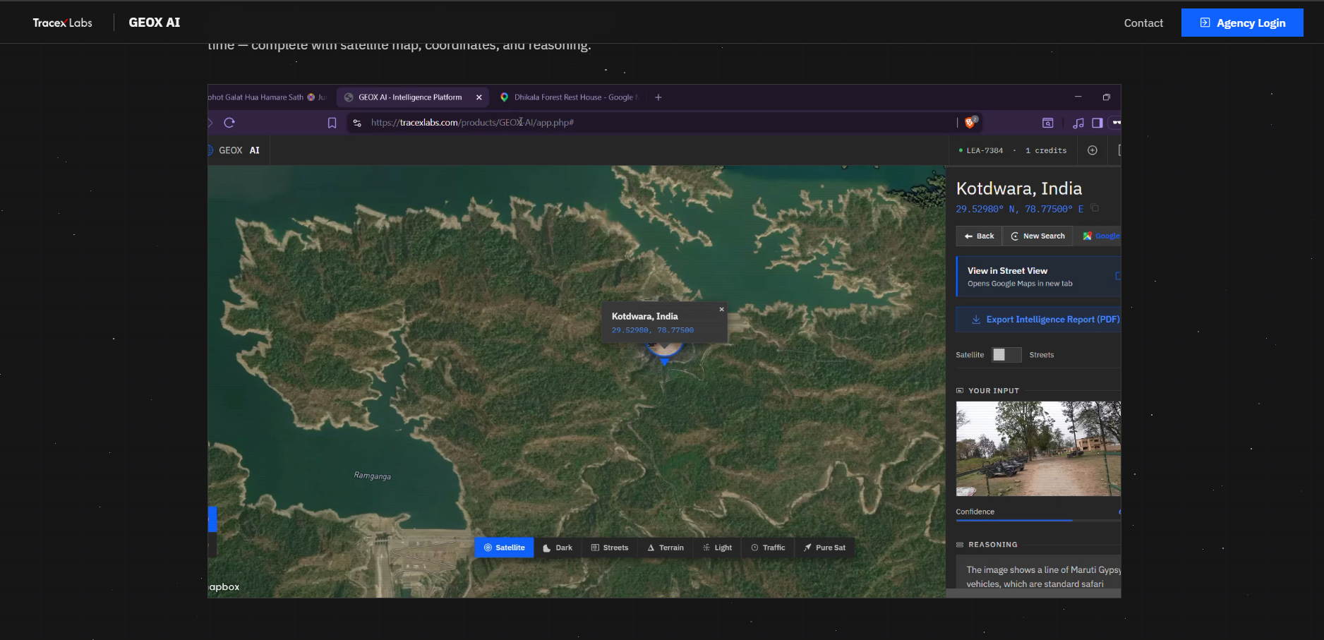
TraceX Labs has announced the launch of GEOX AI, an advanced artificial intelligence platform capable of identifying the real-world location where a photograph or video was taken using only the visual content within the media.
Positioned as an enterprise-grade intelligence solution, GEOX AI leverages advanced computer vision and multi-agent AI to analyze pixel-level details such as architecture, road patterns, vegetation, signage, lighting, and environmental context. By interpreting these visual clues, the system can estimate—and in many cases precisely determine—the origin of an image or video.
AI-Powered Geolocation Intelligence
Marketed under the concept of “Locate Anywhere From Any Image,” GEOX AI is designed for intelligence operations where speed, accuracy, and reliability are critical. The platform currently supports:
- 400+ analyses available
- <10 seconds average response time
- Up to 99% accuracy on landmark-based identification
- Global coverage across diverse terrains and environments
Core Capabilities
GEOX AI integrates multiple intelligence features into a single platform:
- Precise Geolocation:
Identifies exact geographic coordinates using visual landmarks, architecture, vegetation, and cultural indicators. - Satellite Map View:
Results are plotted on live satellite imagery with 2D/3D viewing options and multiple map styles for deeper analysis. - AI Reasoning Analysis:
Provides a detailed explanation of how the system arrived at a conclusion, including confidence scoring. - Multi-Result Analysis:
Returns multiple possible locations ranked by confidence, enabling cross-verification. - Intelligence PDF Export:
Allows one-click generation of professional reports containing maps, coordinates, analysis, and structured findings. - Credit-Based Access:
Agencies are allocated credits, with each analysis consuming one credit. Additional credits can be requested directly.
Speed Meets Intelligence
GEOX AI is designed to balance rapid processing with analytical depth:
- Fast Mode: Delivers results within seconds for clear and high-context images
- Advanced Mode: Performs deeper multi-step analysis for complex or ambiguous visuals
- Built for real-time decision-making in high-pressure environments
How GEOX AI Works
The platform follows a simple and efficient workflow:
- Upload any image or video frame
- AI analyzes visual clues such as structures, terrain, and environment
- The system identifies location with coordinates, confidence score, and reasoning
- Results are displayed on an interactive satellite map
- Export a professional intelligence report in one click
A Breakthrough for Investigations
GEOX AI is expected to have wide-ranging applications across multiple domains:
- Tracking the origin of images from social media and open sources
- Supporting digital forensics and cyber investigations
- Assisting law enforcement and intelligence operations
- Helping journalists and OSINT analysts verify visual content
- Providing support in missing person cases and threat intelligence scenarios
Enterprise Access and Deployment
GEOX AI is available to verified law enforcement agencies, intelligence organizations, and authorized enterprises. Access is provided through a structured system where organizations can request credentials and define their operational use cases.
Interested users can request access via tracexlabs.com or contact contact@tracexlabs.com, with response times typically within 24–48 hours.
Privacy Debate Intensifies
The launch of GEOX AI has also sparked renewed discussion around digital privacy. By demonstrating how location data can be extracted purely from visible elements within images, the platform highlights the potential risks associated with sharing photos online without considering what those visuals may reveal.
Conclusion
With GEOX AI, TraceX Labs is entering the rapidly evolving geolocation intelligence space with a platform that combines speed, precision, and real-world usability. As artificial intelligence continues to advance, tools like GEOX AI are expected to play a critical role in shaping the future of investigations, security, and digital intelligence.