Huge quake hits Papua New Guinea, extent of damage unclear
_vb_85.gif)
Wellington (AP) Renagi Ravu was meeting with two colleagues at his home in the Papua New Guinea highlands Sunday morning when a huge magnitude 7.6 earthquake struck.
Ravu tried to stand up from his chair but couldn't maintain his balance and ended up in a kind of group hug with his colleagues, while plates and cups crashed from his shelves to the ground. His children, ages 9 and 2, had their drinks and breakfast spill over.
Ravu, who is a geologist, said he tried to calm everybody as the shaking continued for more than a minute.
The extent of the damage and whether there have been serious injuries or deaths from the quake was not clear in the immediate aftermath in the remote and underdeveloped region.
Ravu said that about 10,000 people live in and around his town of Kainantu, which is located 66 km (41 miles) from the quake's epicentre and was the nearest big town to the quake. He said there are many scattered settlements in the highlands, and tens of thousands of people might have been affected.
He said people were feeling rattled.
It's a common thing that earthquakes are felt here, but it usually doesn't last as long and is not as violent as this one, Ravu said. It was quite intense.
On Sunday morning, Ravu was still sorting through the damage to his home, which he said likely included a broken sewer pipe judging from the smell. He said friends elsewhere in Kainantu had messaged him with descriptions of cracked roads, broken pipes and fallen debris, but hadn't described major building collapses or injuries.
They are starting to clean up their houses and the streets, he said. Communication seems to have been affected, he added, with some cell towers likely to have fallen.
A magnitude 7.5 earthquake in 2018 in the nation's central region killed at least 125 people. That quake hit areas that are remote and undeveloped, and assessments about the scale of the damage and injuries were slow to filter out.
Felix Taranu, a seismologist at the Geophysical Observatory in the capital Port Moresby, said it was too early to know the impacts of Sunday's earthquake, although its strength meant it most likely caused considerable damage .
According to the US Geological Survey, the quake hit at 9:46 am local time at a depth of 90 km (56 miles).
NOAA has since advised there is no tsunami threat for the area.
Papua New Guinea is located on the eastern half of the island of New Guinea, to the east of Indonesia and north of eastern Australia.
It sits on the Pacific's Ring of Fire, the arc of seismic faults around the Pacific Ocean where much of the world's earthquakes and volcanic activity occurs. (AP)
Let the Truth be known. If you read VB and like VB, please be a VB Supporter and Help us deliver the Truth to one and all.
Bengaluru airport introduces AI-based system to enhance safety at vehicle-aircraft intersections
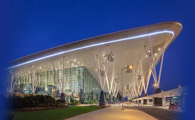
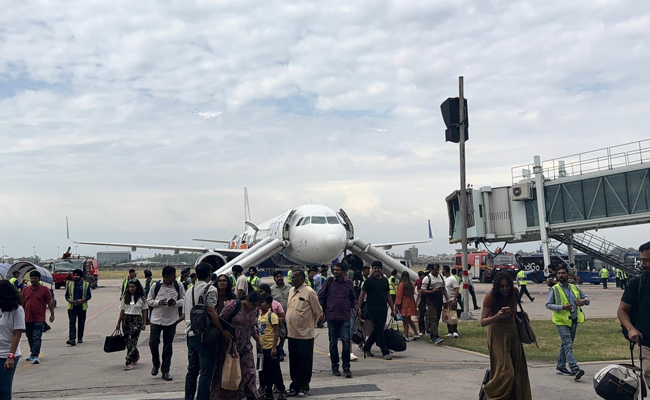
Bengaluru: Bangalore International Airport Limited (BIAL) has introduced an integrated smart airside safety system at Kempegowda International Airport to improve operational safety at key intersection zones.
According to The Hindu, the system has been designed to enhance safety at Cross Service Roads (CSRs), where aircraft and ground vehicle movements intersect.
According to BIAL, the system integrates AI-based computer vision, automation, and centralised monitoring to manage right-of-way movements and reduce the risk of human error.
“CRSs are among the most sensitive areas within airport operations, requiring precise and seamless coordination between aircraft and ground vehicles. Traditionally, right of way protection at these intersections relied on manual or semi-manual inset light activation, creating dependencies on human intervention, increasing the risk of delays and limiting operational visibility,” TH quoted BIAL as saying.
The new system uses real-time detection of vehicle movement, risk assessment, and automated signalling. AI-enabled cameras identify potential conflicts and trigger automated inset light signals to ensure aircraft priority. Normal operations resume once the area is confirmed clear.
“Based on these detections, the system triggers automated inset light activation to protect aircraft right‑of‑way and restores normal signalling once the intersection is confirmed clear. A centralised monitoring and analytics platform digitally logs all events, strengthening governance, compliance, and operational control,” BIAL said.
By embedding technology into operations, the system creates a data-driven separation layer between aircraft and ground vehicles, significantly reducing human error, especially during night and low-visibility conditions.
“Precision-led signal activation improves traffic flow, minimises unnecessary stoppage and enhances turnaround efficiency. It also establishes a scalable foundation for predictive safety analytics, enabling trend analysis, peak-hour optimisation, compliance mapping and risk forecasting to support continuous improvement and stronger airside governance,” BIAL said.