Strong earthquakes shake part of Indonesia's West Papua
_vb_03.gif)
Jakarta (AP) A series of strong inland earthquakes shook Indonesia's easternmost province Saturday, but there were no immediate reports of serious damage or casualties.
The Indonesian Meteorology, Climatology and Geophysics Agency said at least four land-based earthquakes between 6.2 and 5.5 magnitude were centred about 37 km (23 miles) northwest of Central Mamberamo district of West Papua province at a depth up to 16 km (10 miles).
Those earthquakes posed no danger of triggering a tsunami, said Daryono, who heads the Earthquake and Tsunami Mitigation Division. He said the earthquakes were triggered by a thrust in the Memberamo Anjak fault.
There is no report on the impact of damage, said Daryono, who goes by a single name.
The US Geological Survey measured the quakes between 6.1 and 5.9 magnitude at a depth of 19 to 33 km (11.8 to 20.5 miles). Variations in early measurements are common.
With a population of around 1.2 million, West Papua is one of Indonesia's least-populous provinces.
Indonesia is a seismically active archipelago of 270 million people that is frequently struck by earthquakes, volcanic eruptions and tsunamis.
In February, a magnitude 6.2 earthquake killed at least 25 people and injured more than 460 in West Sumatra province. In January 2021, a magnitude 6.2 earthquake killed more than 100 people and injured nearly 6,500 in West Sulawesi province.
A massive quake off the coast of Aceh in 2004 triggered a powerful tsunami that killed around 230,000 people in a dozen countries. (AP)
Let the Truth be known. If you read VB and like VB, please be a VB Supporter and Help us deliver the Truth to one and all.
Bengaluru airport introduces AI-based system to enhance safety at vehicle-aircraft intersections

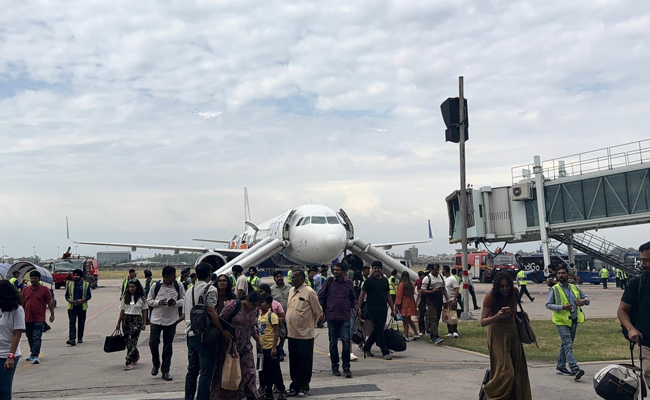
Bengaluru: Bangalore International Airport Limited (BIAL) has introduced an integrated smart airside safety system at Kempegowda International Airport to improve operational safety at key intersection zones.
According to The Hindu, the system has been designed to enhance safety at Cross Service Roads (CSRs), where aircraft and ground vehicle movements intersect.
According to BIAL, the system integrates AI-based computer vision, automation, and centralised monitoring to manage right-of-way movements and reduce the risk of human error.
“CRSs are among the most sensitive areas within airport operations, requiring precise and seamless coordination between aircraft and ground vehicles. Traditionally, right of way protection at these intersections relied on manual or semi-manual inset light activation, creating dependencies on human intervention, increasing the risk of delays and limiting operational visibility,” TH quoted BIAL as saying.
The new system uses real-time detection of vehicle movement, risk assessment, and automated signalling. AI-enabled cameras identify potential conflicts and trigger automated inset light signals to ensure aircraft priority. Normal operations resume once the area is confirmed clear.
“Based on these detections, the system triggers automated inset light activation to protect aircraft right‑of‑way and restores normal signalling once the intersection is confirmed clear. A centralised monitoring and analytics platform digitally logs all events, strengthening governance, compliance, and operational control,” BIAL said.
By embedding technology into operations, the system creates a data-driven separation layer between aircraft and ground vehicles, significantly reducing human error, especially during night and low-visibility conditions.
“Precision-led signal activation improves traffic flow, minimises unnecessary stoppage and enhances turnaround efficiency. It also establishes a scalable foundation for predictive safety analytics, enabling trend analysis, peak-hour optimisation, compliance mapping and risk forecasting to support continuous improvement and stronger airside governance,” BIAL said.